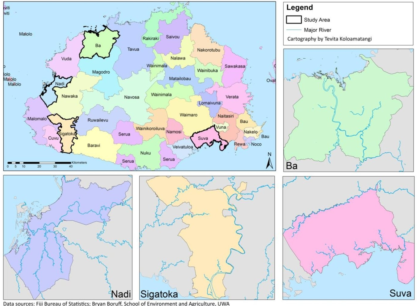
The quality and availability of data can make it difficult to adapt and mitigate against the impacts of climate change. In this exercise, a method was developed to map and predict the spatial extent of flood risk in Fiji using commonly available data such as digital elevation models.
-
Subscribe
Subscribed
Already have a WordPress.com account? Log in now.
