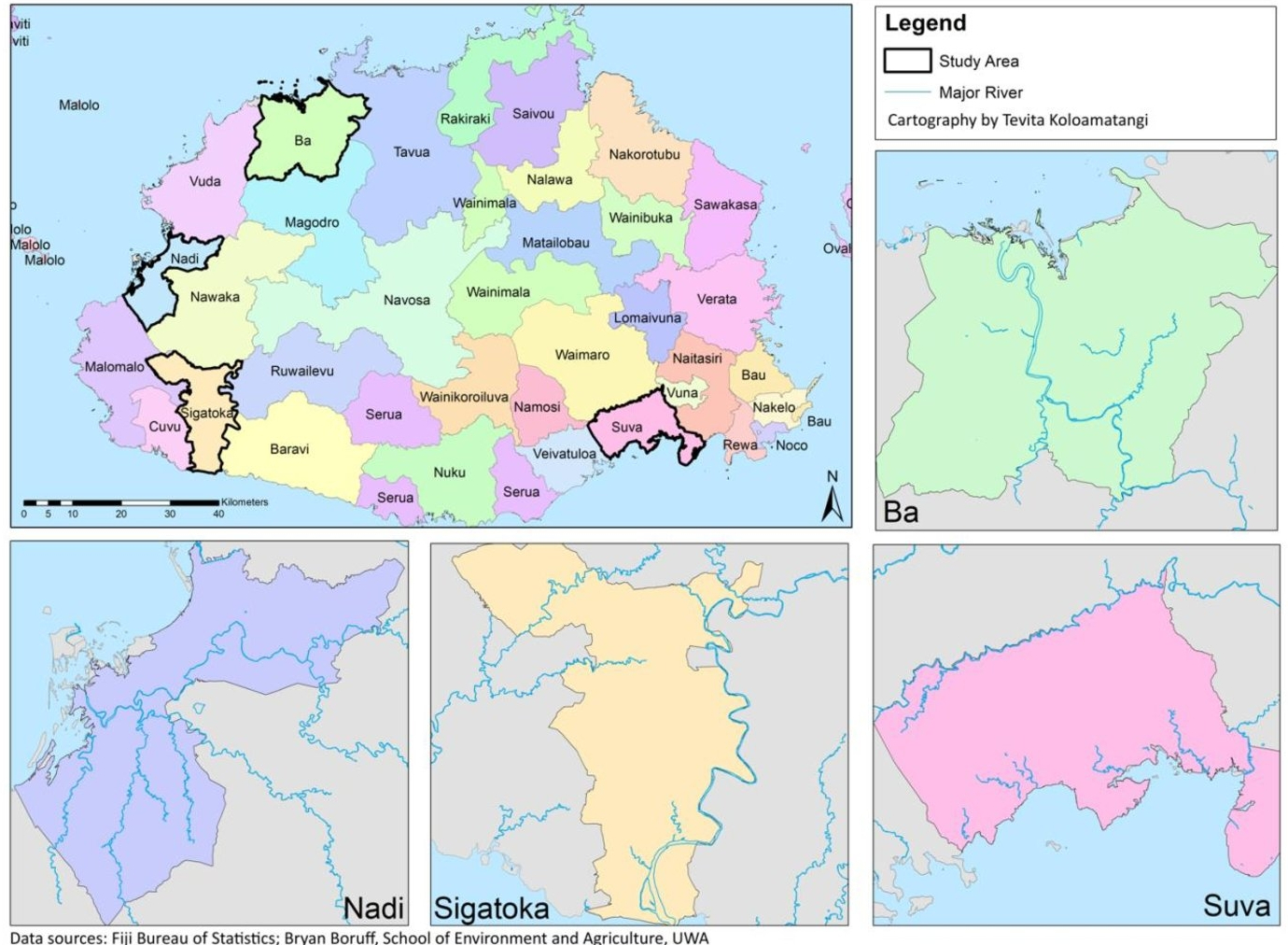
The quality and availability of data can make it difficult to adapt and mitigate against the impacts of climate change. In this exercise, a method was developed to map and predict the spatial extent of flood risk in Fiji using commonly available data such as digital elevation models.
Hydrological Modelling in the Swan River Catchment, Perth
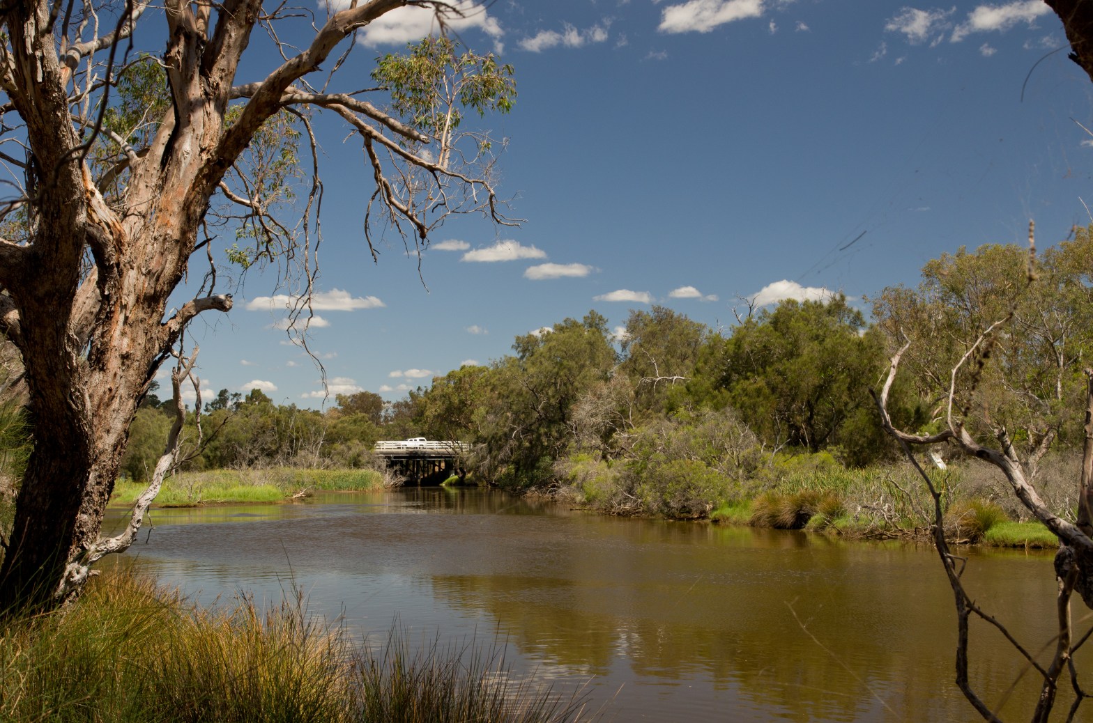
This three part research project looked into the relationship between water flow regimes in the Guildford Flood Plains and involved a number of sampling and modelling techniques that provide a deeper insight into the behaviour of groundwater in the area.
The building blocks of aquatic biodiversity: Improving Oyster-Reef rehabilitation practices in Albany, WA
Recent reef restoration efforts in Oyster Harbour, Albany had been stifled by low survival rates in Oyster young before their deployment to rehabilitated areas. This collaborative project aimed to investigate the reasoning behind this and was done with the unit cohort, coordinators and volunteers.
Green-Orientated Development: An advocacy plan for sustainable infrastructure

This advocacy plan aims to address key impacts from climate change in urban areas by adopting a more sustainable approach to urbanisation. A bottom-up approach with key stakeholders is explored for creating policy change.
Preserving Living Fossils with Spatial Modelling

Conservation programs are often costly in terms of time and resources and this project was published using ArcGIS story maps to illustrate the power of spatial modelling in solving environmental problems of this kind. Follow this Link for more.
Irreversible Environmental Damage in Tonga

As Tonga moves on from their 2019 South Pacific Games debacle, their Government may have caused irreversible damage in an attempt to salvage development areas. Anyone might look at Tongan Prime Minister Akilisi Pohiva’s recent projects on the fringes of his capital and think that he has struck gold with his plans to develop wetlandContinue reading “Irreversible Environmental Damage in Tonga”
