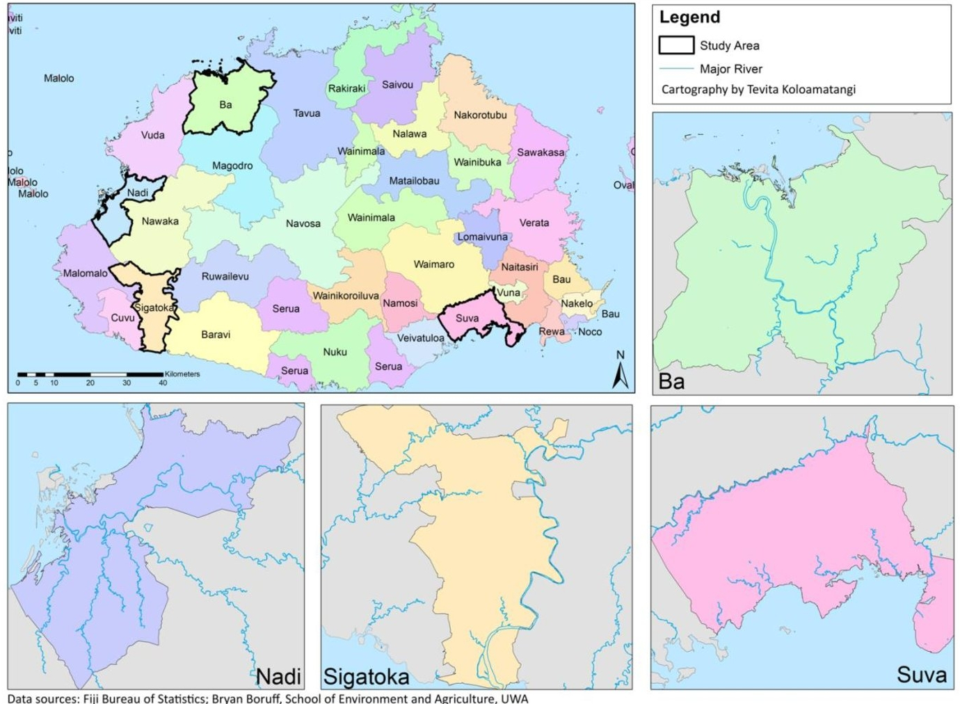
The quality and availability of data can make it difficult to adapt and mitigate against the impacts of climate change. In this exercise, a method was developed to map and predict the spatial extent of flood risk in Fiji using commonly available data such as digital elevation models.
Category Archives: Spatial Analysis & Modelling
Preserving Living Fossils with Spatial Modelling

Conservation programs are often costly in terms of time and resources and this project was published using ArcGIS story maps to illustrate the power of spatial modelling in solving environmental problems of this kind. Follow this Link for more.
